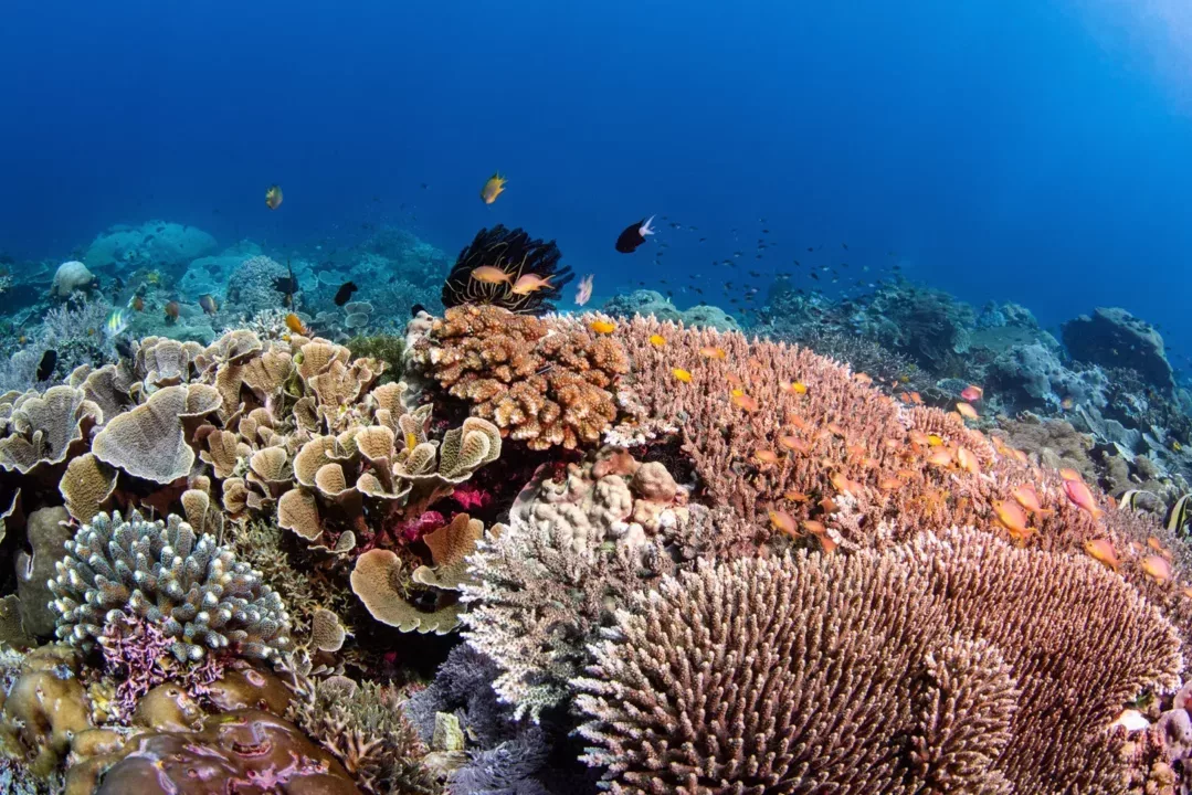

The Allen Coral Atlas announces four newly mapped regions – Northern Caribbean & Bahamas, Eastern Africa & Madagascar, Hawaiian Islands, and the Western Indian Ocean, as well as a new update for South-West Pacific. Bringing the total to over 247,000 km2 mapped, and counting!
A new download feature is also now live on the Atlas! Registered users can download data of any mapped area on the Atlas, with options to download benthic layer data, geomorphic layer data, or both.
To stay up to date on new features and region roll-outs, subscribe to the Allen Coral Atlas newsletter (less than once a month).
Coming this Fall, the Atlas will release a new Reef Resilience Network Online course covering topics of remote sensing and how to use the Atlas for coral reef planning and conservation.
For more information on the Atlas and a quick demo check out this SCGIS webinar, or watch the “The Allen Coral Atlas: A New Map for Coral Conservation” webinar recording as part of the OneNOAA Science Seminar Series.
Regions coming up:
- Andaman Sea
- Timor Sea
- South Asia
- Eastern Papua New Guinea & Solomon Islands
- Indonesian Archipelago
- Central Indian Ocean
Your feedback is very important to the mapping team. Please submit any identified errors to corrections@allencoralatlas.